Russia redraws borders on map, claiming Ukraine’s Mykolaiv and Odesa as its territory

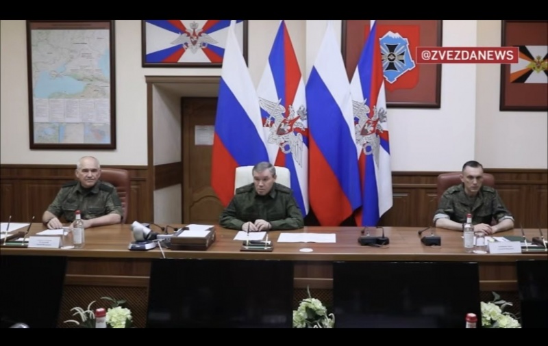
 Photo: Chief of the General Staff of Russia Valery Gerasimov (Getty Images)
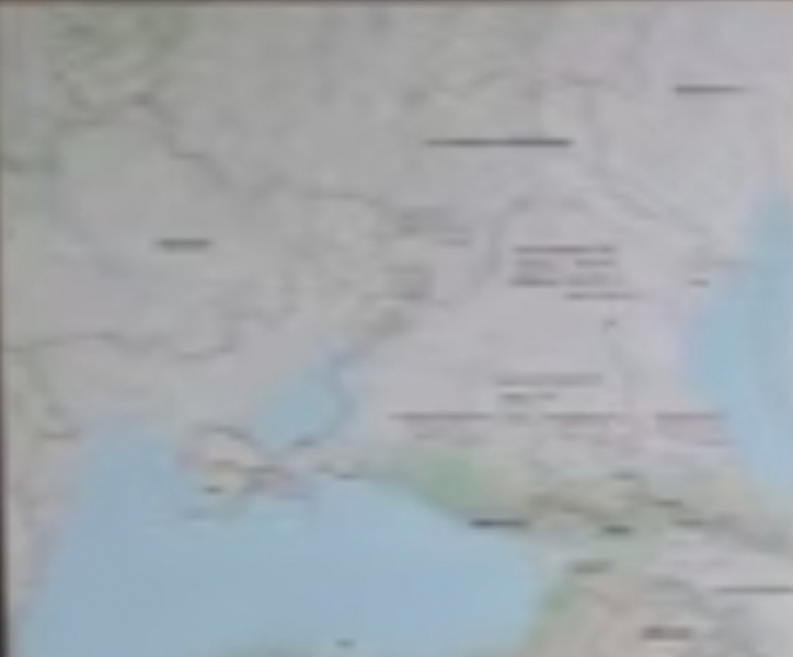
The Russian Ministry of Defense showed a map on which the Mykolaiv and Odesa regions are separated from Ukraine, according to Russian media.
Behind Valery Gerasimov, Chief of the General Staff of the Russian Armed Forces, who was presenting the results of the military campaign in Ukraine, a map showing the occupation of foreign territories was spotted.
The map shows the Luhansk, Donetsk, Zaporizhzhia, and Kherson regions separated from Ukraine, which are partially under the control of Russian troops.
The line continues to the borders with Moldova and Romania, completely separating the Kherson, Mykolaiv, and Odesa regions.
In other regions, the line runs along administrative boundaries, including partially occupied territories.
Russian journalist Yaroslav Trofimov, who works for The Wall Street Journal, was the first to draw attention to this.
According to the journalist, the map probably reflects Russian military objectives in Ukraine (covering half of the country, including Kharkiv and Odesa).
Russia's plans
Many European politicians do not believe that Russia is ready to agree to a ceasefire against Ukraine. Moreover, Russia's Vladimir Putin wants to capture Odesa to deprive Ukraine of access to its main port.
Ukrainian President Volodymyr Zelenskyy has also stated that Russia wants to take control of Odesa. After that, Russia plans to reach the border with Romania and Moldova.
In addition, the Office of the President of Ukraine emphasized that Russia wants to occupy all Ukrainian territory east of the Dnipro River. Russian occupiers also plan to capture Odesa and Mykolaiv to cut Ukraine off from the Black Sea.
Meanwhile, ISW suggested that Russia's main goal in the war against Ukraine is to establish political control over the entire country, not just to occupy individual regions.