Philippines responds to China by landing and raising flag on disputed islands
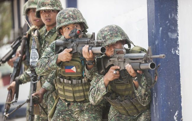
 Philippine soldiers (Illustrative photo: navytimes.com)
The Philippine military responded to the landing of Chinese forces on Sandy Cay reef by carrying out a similar operation, reports the Philippine News Agency.
On April 27, the National Operational-Tactical Group West Philippine Sea carried out an interagency maritime operation. The efforts were aimed at strengthening the regular and lawful exercise of the Philippines' sovereign rights and jurisdiction over the waters of the Western Philippine Sea. The operation involved the Philippine Navy, the Philippine Coast Guard, and the Maritime Group of the National Police.
As part of the operation, four combined teams in rubber boats landed on the Cay 1, Cay 2, and Cay 3 islands, as well as in the surrounding waters.
During patrols, Philippine forces detected the illegal presence of a Chinese Coast Guard vessel with hull number 5102, approximately 914 meters east of Sandy Cay 2 bay, and also identified seven Chinese maritime militia ships near the bays of Islands 2 and 3.
The National Operational-Tactical Group West Philippine Sea emphasized that the execution of this operation demonstrates the unwavering resolve and commitment of the Philippine government to uphold the country's sovereignty, sovereign rights, and jurisdiction in the Western Philippine Sea. The operation also underscores the Philippines' determination to protect its maritime territories, adhere to international law, and contribute to the preservation of peace and stability in the region.
The operation carried out by the Philippine military was in response to the actions of the Chinese Coast Guard, which on April 26 landed on the disputed Sandy Cay 2 reef near the Philippine outpost on Tito Island and took a photograph with its flag.
The incident occurred just before the annual joint military exercises between the Philippines and the US, which are scheduled to take place next week in the Philippines, near the Spratly Islands.
Sandy Cay is a sandbar covering just over 200 square meters, but it holds strategic significance for China. International law allows a country to conduct economic activities within a 12-mile territorial zone around the reef.
This area intersects with Tito Island in the South China Sea, which Manila uses to monitor China's activities in the region.
Territorial disputes between the Philippines and China
The South China Sea holds strategic importance, with annual trade flows of around $3 trillion passing through the region. In addition to China and the Philippines, other countries, including Vietnam, Indonesia, Malaysia, and Brunei, also claim parts of the waters.
In 2016, the Permanent Court of Arbitration in The Hague ruled that China's territorial claims in the South China Sea were illegal, but Beijing has officially rejected the decision.
Specifically, the Philippines and China are engaged in a prolonged standoff over the Second Thomas Shoal, where Manila maintains the BRP Sierra Madre, a landing ship intentionally grounded in 1999 to reinforce Philippine territorial claims in the region. The ship is manned by a small, limited crew.
China is heavily involved in sand and coral extraction to create artificial islands in the South China Sea. Beijing claims these activities are part of normal economic activities on territories it considers its own. Meanwhile, several countries in the region view these actions as an attempt to extend control over disputed maritime areas.
According to a report by the Center for Strategic and International Studies published last year, China's construction activities have led to the destruction of over 4,600 acres (1,861 hectares) of coral reefs.
At the end of March, China deployed strategic bombers in the area of the disputed Scarborough Shoal.
In July 2024, the Philippines and China announced successful negotiations regarding the disputed Second Thomas Shoal.

