Most bizzare places on Google Maps that look too strange to be real

 Lagoa Humanóide (photo: mapoddity.com)
Google Maps is full of locations that look almost unreal. Here are several places that can surprise even experienced explorers, according to MapOddity.
Zigzag patterns in the Gobi Desert
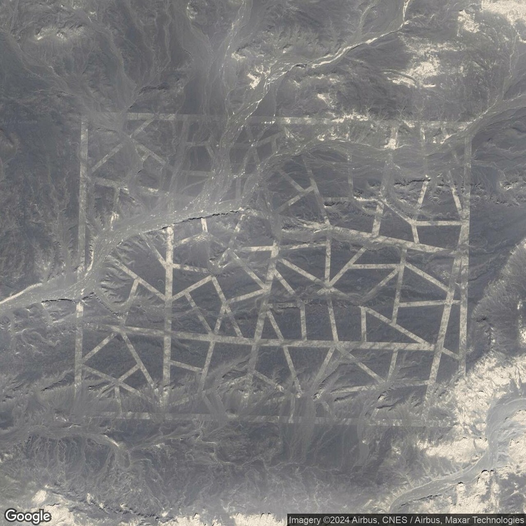
China’s Gobi Desert is home to huge geometric structures that are especially visible in satellite images. The unusual white lines and zigzag patterns have sparked countless theories, ranging from secret military tests to conspiracy theories about possible signals intended for extraterrestrial civilizations.
The mysterious structures in the Chinese desert are indeed connected to space observation technologies. However, it would be inaccurate to call a specific zigzag pattern a proven “target for spy satellites.”
It is this boundary between mystery and technology that makes the Gobi Desert one of the most fascinating places for those who explore satellite images of Earth.
Zigzag patterns in the Gobi Desert (photo: mapoddity.com)
A wing frozen in time
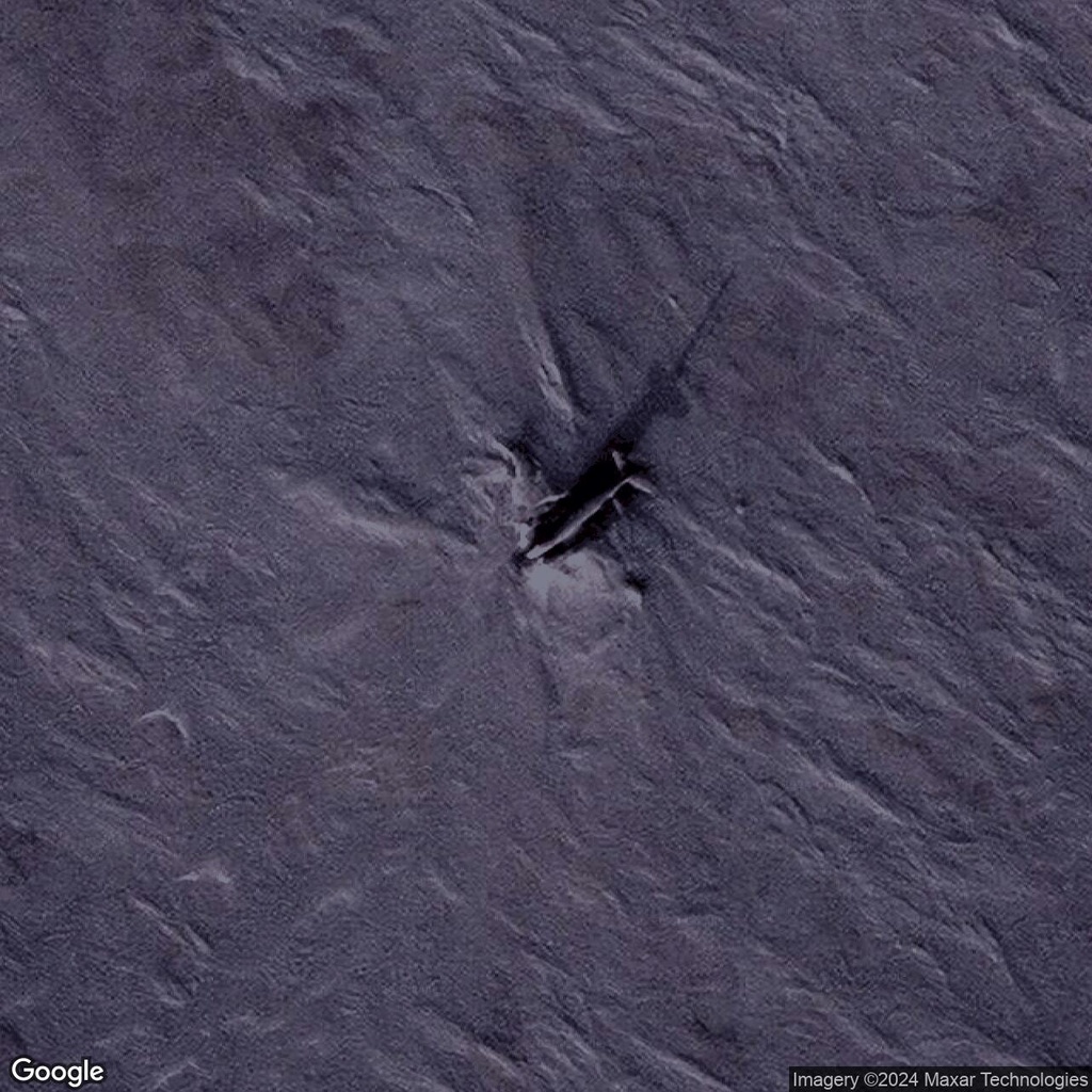
In the icy wilderness of Ellef Ringnes Island, part of the remote Canadian territory of Nunavut, lies an extraordinary relic of Arctic exploration: the crash site of a Douglas C-47 Skytrain, frozen in time since 1949.
On October 9, 1949, a U.S. Air Force C-47 cargo plane attempted to take off from the station’s dirt runway in unfavorable conditions. Snowfall, fog, and ice buildup on the wings and cockpit windshield forced the overloaded aircraft to make an emergency landing.
Miraculously, all ten people on board — six U.S. Air Force crew members and four civilian passengers — survived. Although three crew members were injured, everyone else escaped unharmed.
The cold, dry conditions and isolation protected the aircraft from significant deterioration, turning it into an eerie time capsule of mid-20th-century aviation.
The plane wing frozen in time (photo: mapoddity.com)
The Adrar Madet stone circle
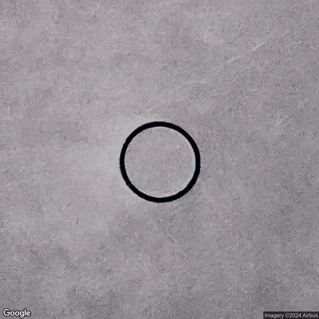
In the middle of the vast Tenere Desert in Niger lies a remarkable stone circle. It measures about 18–20 meters in diameter, with smaller arrow-shaped markers scattered at a considerable distance around it.
From above, the structure resembles a huge compass lost in one of the Sahara’s most desolate regions.
For decades, the unusual site has attracted travelers, photographers, and desert researchers. Its remote location and geometric shape have sparked various theories about its origins, ranging from a prehistoric ritual site to a navigational marker.
However, there is no evidence that the circle is prehistoric.
 Lagoa Humanóide (photo: mapoddity.com)
Lagoa Humanóide
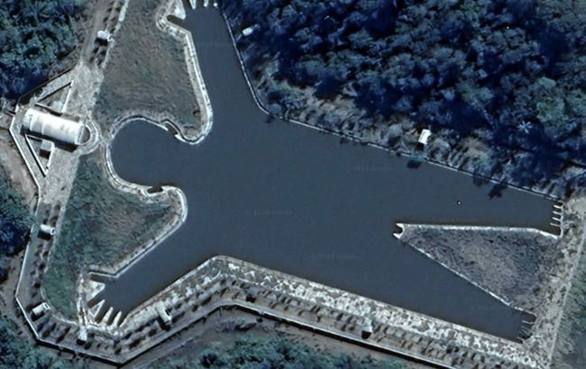
In the lush countryside near Iacanga, in São Paulo state, Brazil, lies an unusual body of water called Lagoa Humanóide. From above, it resembles a giant human figure, complete with a head, torso, arms, and legs. Its unusual shape is clearly visible in aerial photographs and satellite maps.
It is not a natural formation but a man-made body of water on private property, created in the shape of a human body.
Lagoa Humanóide remains something of a geographical mystery: its artificial origin and unusual shape are obvious, but the story behind its creation is still largely unknown.
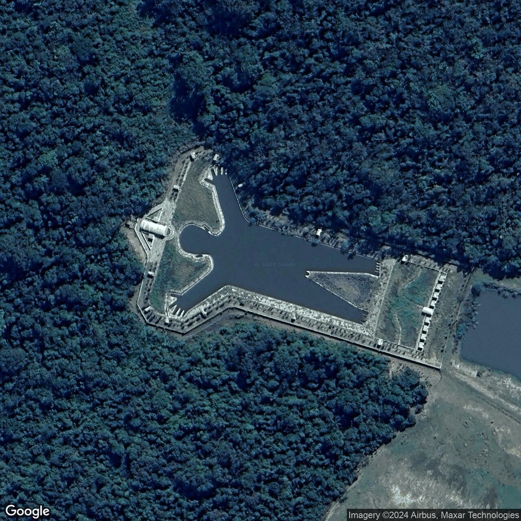 Lagoa Humanóide (photo: mapoddity.com)
Mount Takahe: Antarctica’s volcanic mystery
In the icy wilderness of Marie Byrd Land in West Antarctica rises Mount Takahe, one of the continent’s youngest and most fascinating volcanoes. Its almost perfectly conical shape and huge caldera look particularly striking in satellite and aerial images.
Takahe is a shield volcano about 3,460 meters high and approximately 30 kilometers in diameter.
Volcanic deposits provide evidence of numerous eruptions, including both subaerial eruptions and those involving interactions between magma and ice.
About 8,000 years ago, Takahe experienced a powerful explosive eruption, with ash from the event found in Antarctic ice cores at a considerable distance from the volcano.
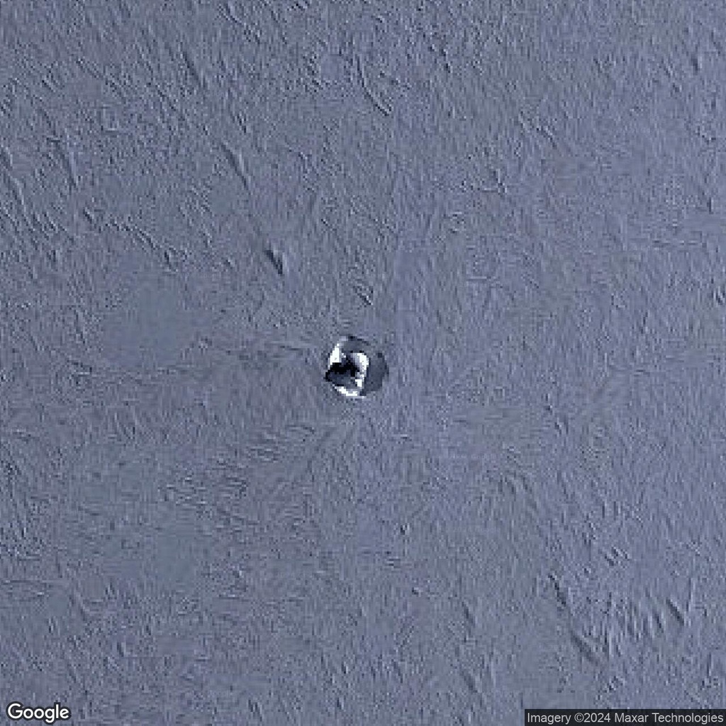 Mount Takahe (photo: mapoddity.com)
Giant figures in the Colorado Desert
In the middle of the Colorado Desert near the city of Blythe, California, lie the Blythe Intaglios, a group of enormous geoglyphs depicting humans and animals. The largest human figure is about 52 meters long, and its full outline can be seen mainly from above.
The geoglyphs were created by the Indigenous peoples of the region, likely hundreds or more than a thousand years ago. They are estimated to be around 450–2,000 years old. In the traditions of the Mojave and Quechan peoples, the human figures are associated with Mastamho, the creator of all living things.
From above, these ancient drawings in the middle of the desert look almost unreal, which is why they remain one of California’s most fascinating archaeological mysteries.
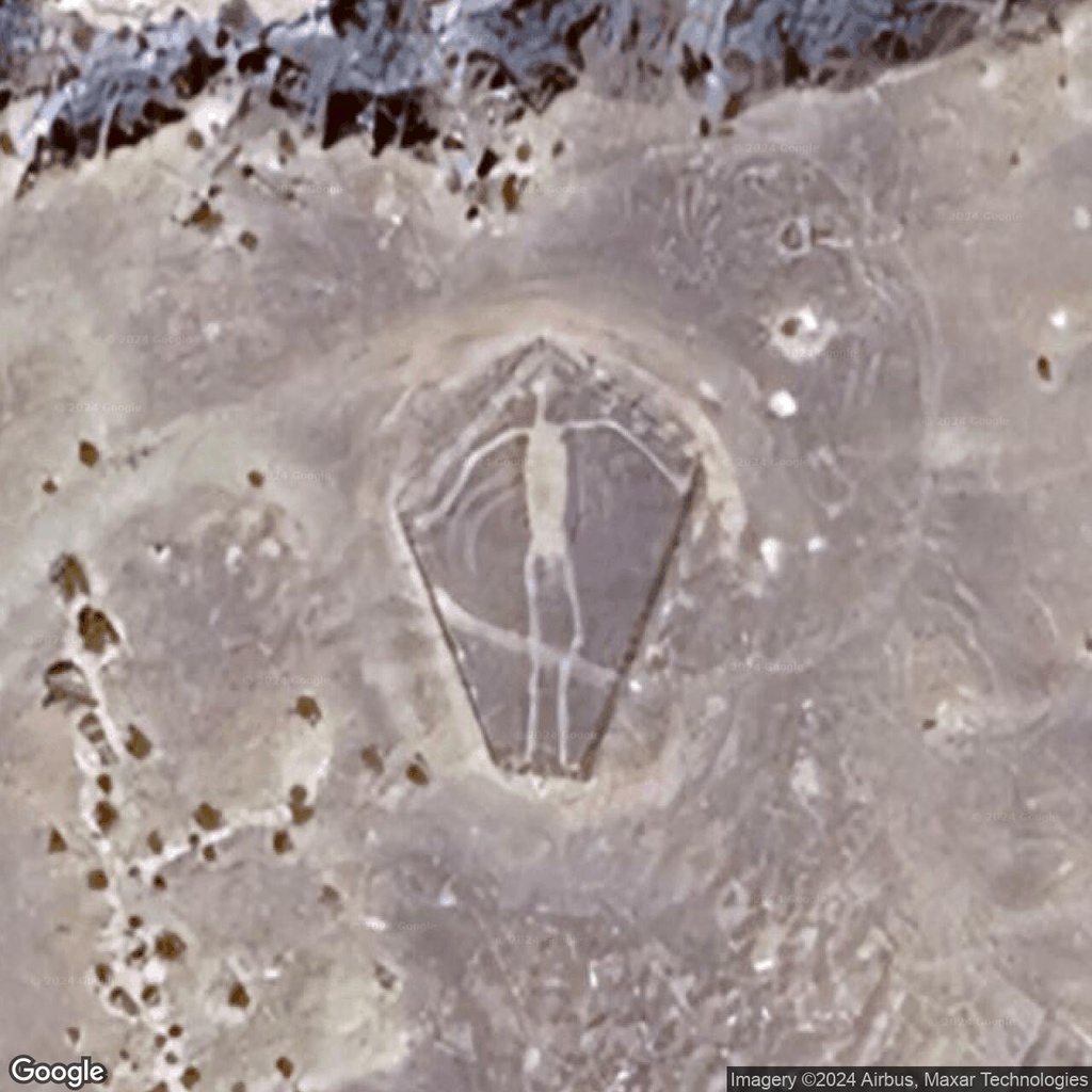
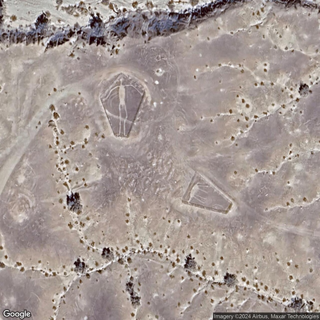
Giant figures in the Colorado Desert (photo: mapoddity.com)
Strange structures in Antarctica
Amid Antarctica’s deserted snowfields, Konen Station stands out for an unusual sight: a row of identical structures, each about 50 meters long, precisely aligned across an area of more than 1 kilometer.
Their orderly arrangement in such an isolated and extreme environment raises questions about their purpose and function.
The location and size of these structures suggest that they serve a specific scientific or logistical purpose.
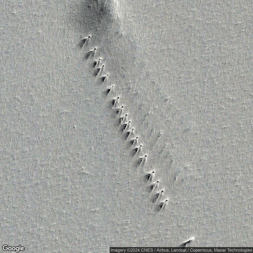 Row of structures in Antarctica (photo: mapoddity.com)