Google updates satellite images of Posad-Pokrovske, Kherson region: What it looks like after battles
Sun, October 01, 2023 - 17:39
3 min
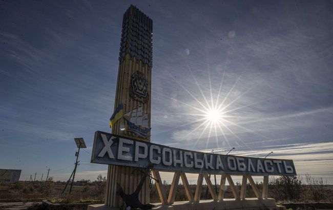 Illustrative photo (Photo: Getty Images)
Google has updated satellite images of Posad-Pokrovske in the Kherson region. You can now see how the village looks after the Russian invasion, according to Google Maps.
In particular, Google Maps has updated the maps in the area of the village of Posad-Pokrovske in the Chornobaivka community. The images are dated June 2022, so they show the fortified positions of Ukrainian forces on the outskirts of the village from April to November 2022, the aftermath of Russian attacks on residential buildings and infrastructure in the village, as well as a significant number of craters from enemy projectiles scattered across the fields around the settlement.