From hostile natives to radiation: 5 most dangerous islands in the world
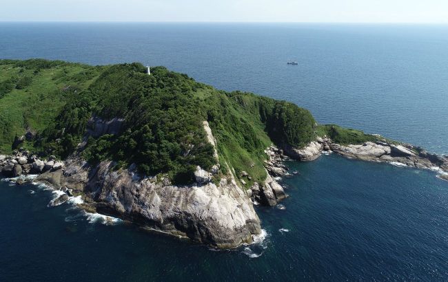 Some islands in the world are particularly dangerous (photo: flickr.com)
Many tourists see a trip to the islands as a romantic adventure and a fabulous vacation. However, some of the world's islands pose real dangers and require special treatment.
RBC-Ukraine dwells on some of the most dangerous islands where travelers should hardly go.
Contents
- North Sentinel Island, India
- Queimada Grande, Brazil
- Gruinard Island, Scotland
- Ramree Island, Myanmar (Burma)
- Bikini, Marshall Islands
North Sentinel Island, India
North Sentinel Island is one of the Andaman Islands with an area of 59.67 km square in the Bay of Bengal (located west of the southern part of South Andaman).
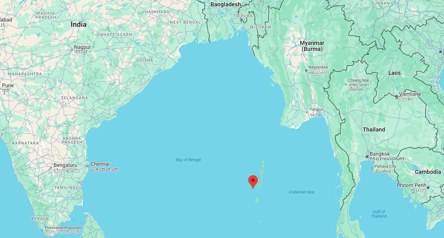 Location of North Sentinel Island (map: google.com/maps)
It is officially administered by India as part of the united territory of the Andaman and Nicobar Islands (since 1947) and is also referred to as an “island of isolation” among various sources.
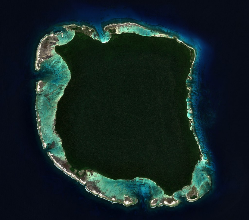
North Sentinel Island (photo: commons.wikimedia.org)
The island is considered dangerous because of the hostile locals, the Sentinelese, who are one of the world's last uncontacted tribes. These people are fiercely protective of their territory, so attempts to approach the island can lead to violence.
In addition, Indian laws prohibit travel to the island to protect the tribe.
Queimada Grande, Brazil
Keimada Grande or Snake is an island in the Atlantic Ocean (35 km off the coast of the Brazilian state of São Paulo), located at an altitude of 200 meters above sea level.
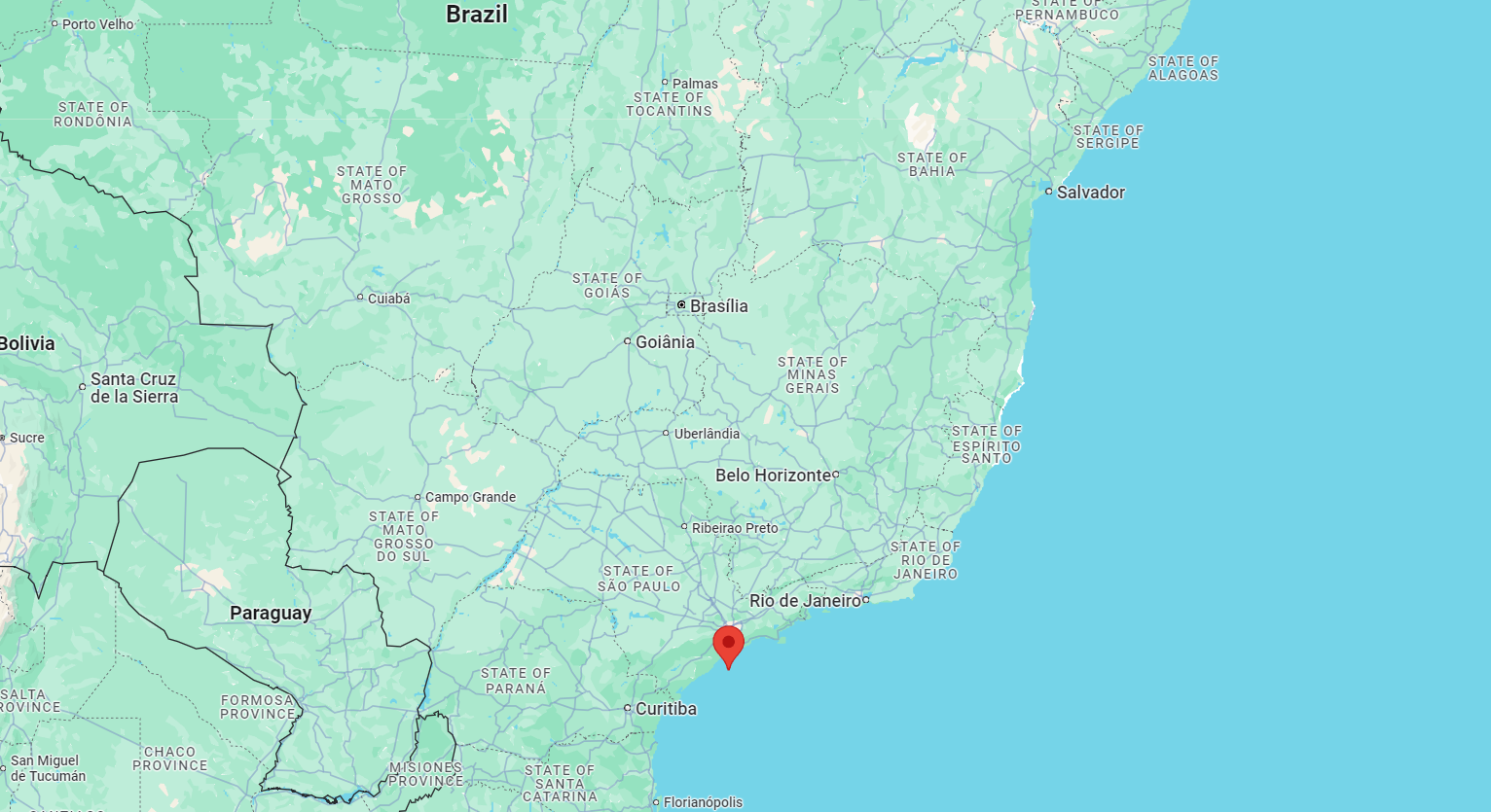 Location of the island of Queimada Grande (map: google.com/maps)
Its area is only about 0.43 square kilometers, but it is known worldwide as the home of one of the most dangerous snakes in the world - the island botrytis, whose bite causes rapid tissue necrosis.
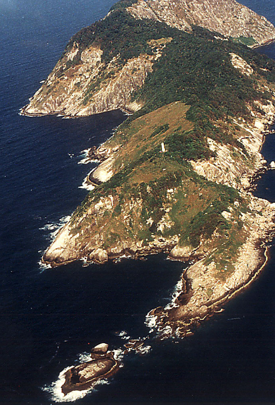
Queimada Grande Island (photo: commons.wikimedia.org)
With this in mind, Queimada Grande was included in the list of the most dangerous places on the planet, and the Brazilian authorities banned visits to the island to save human lives, as well as flora and fauna.
In addition, fishing and diving are prohibited in the waters of the island.
Gruinard Island, Scotland
Gruinard is a small oval-shaped Scottish island (about 2 km long and 1 km wide) located in the bay of the same name.
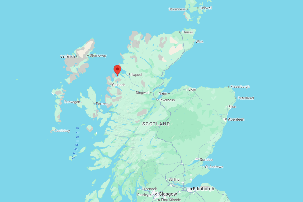 Location of the island of Gruinard (map: google.com/maps)
It is also known as the anthrax island because during World War II, the British government tested biological weapons there (using anthrax bacteria).
For a long time, the island was completely closed to visitors and was considered the most dangerous place on the planet.
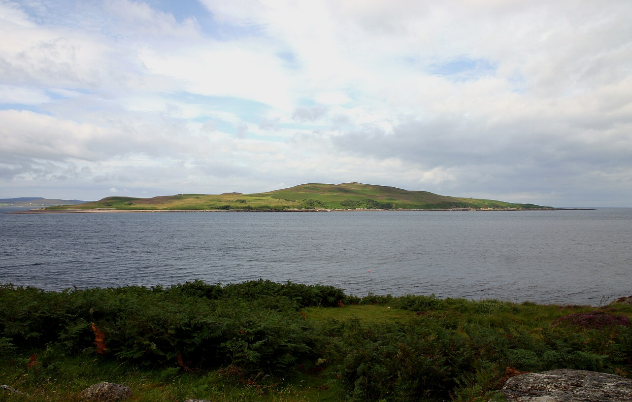 Gruinard Island (photo: commons.wikimedia.org)
Around 1986, researchers began to clean up the island by spraying 280 tons of formaldehyde diluted with seawater on it and removing the most contaminated topsoil.
Shortly afterward, sheep were introduced to Gruinard, and the experiment proved to be a success, as they remained alive and well. However, some argue that anthrax spores remain in the island's soil to this day.
Ramree Island, Myanmar (Burma)
Ramree Island is located off the coast of Rakhine State. Its area is about 1350 square kilometers, and it is separated from the mainland by a narrow strait resembling a canal (its average width is about 150 meters).
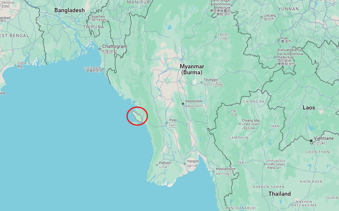 Location of Ramree Island (map: google.com/maps)
This island became famous during the Second World War when hundreds of Japanese soldiers (who were being pushed around by the British) were killed by sea crocodiles in the mangrove swamps.
This story was even recorded in the Guinness Book of World Records as the largest simultaneous attack by animals on humans. Since then, some have called the island Crocodile Island.
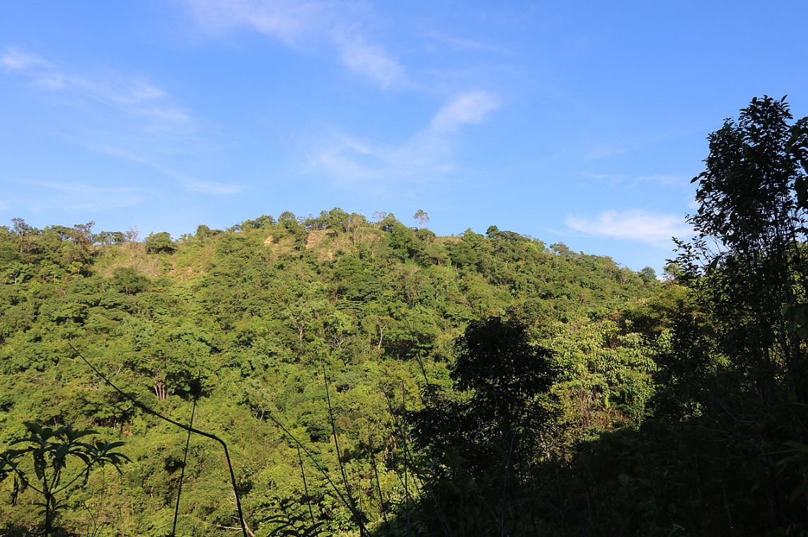 The highest point of Ramree Island (photo: commons.wikimedia.org)
The island is still hardly a tourist attraction because it is home to a huge population of dangerous crested crocodiles, known for their size and aggressiveness. They pose a serious threat to anyone who dares to enter their territory.
In addition, the dense mangroves and swamps make navigation on the island surprisingly difficult.
Bikini, Marshall Islands
Bikini is a small coral island (atoll) in the Pacific Ocean, with an area of about 6 square kilometers. It is located in the Raleigh Marshall Islands chain (about 3400 km from the coast of Australia).
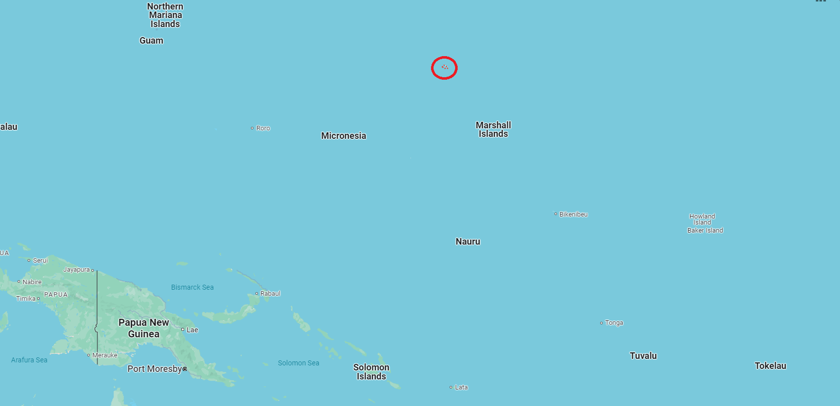 Location of Bikini Atoll (map: google.com/maps)
Between 1946 and 1958, the United States used the island as a nuclear test site (167 residents were evacuated to neighboring islands).
In 1954, a 15-megaton hydrogen bomb was detonated on the atoll, the most powerful in the history of American nuclear testing. Even the crew of a Japanese fishing schooner stationed nearby was injured (which caused a loud international scandal). This and other explosions led to significant radioactive contamination of a large area.
In 1968, the United States recognized Bikini Atoll as habitable and began to return to the local population. However, soon the residents were evacuated again.
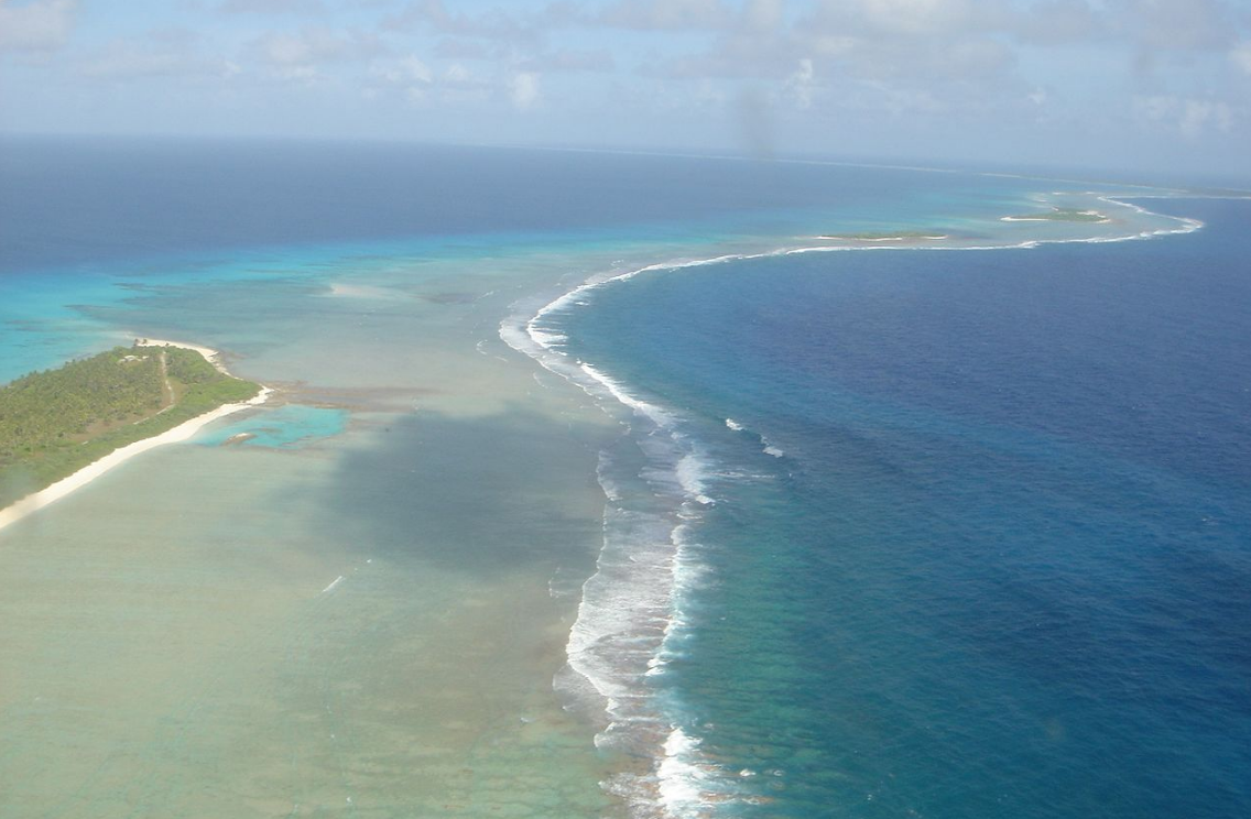 Bikini Coast (photo: commons.wikimedia.org)
In 1997, experts from the International Atomic Energy Agency (IAEA) concluded that staying on the atoll was not dangerous. At the same time, they noted the increased radioactivity of food from the atoll and did not recommend repopulating it.
In 2010, Bikini was included in the UNESCO World Heritage List.
Read also about the Doomsday Vault.
Sources: The Travel Bible, explore.com, Wikipedia, Google Maps, YouTube channels Ridddle, Oliver hayden, Alan Rankin, MindFit, and James Cialdea.

